Guide to Central America's Volcanoes
A guide to the best volcanoes in Central America, covering top peaks in Guatemala, Nicaragua, Costa Rica, and El Salvador.
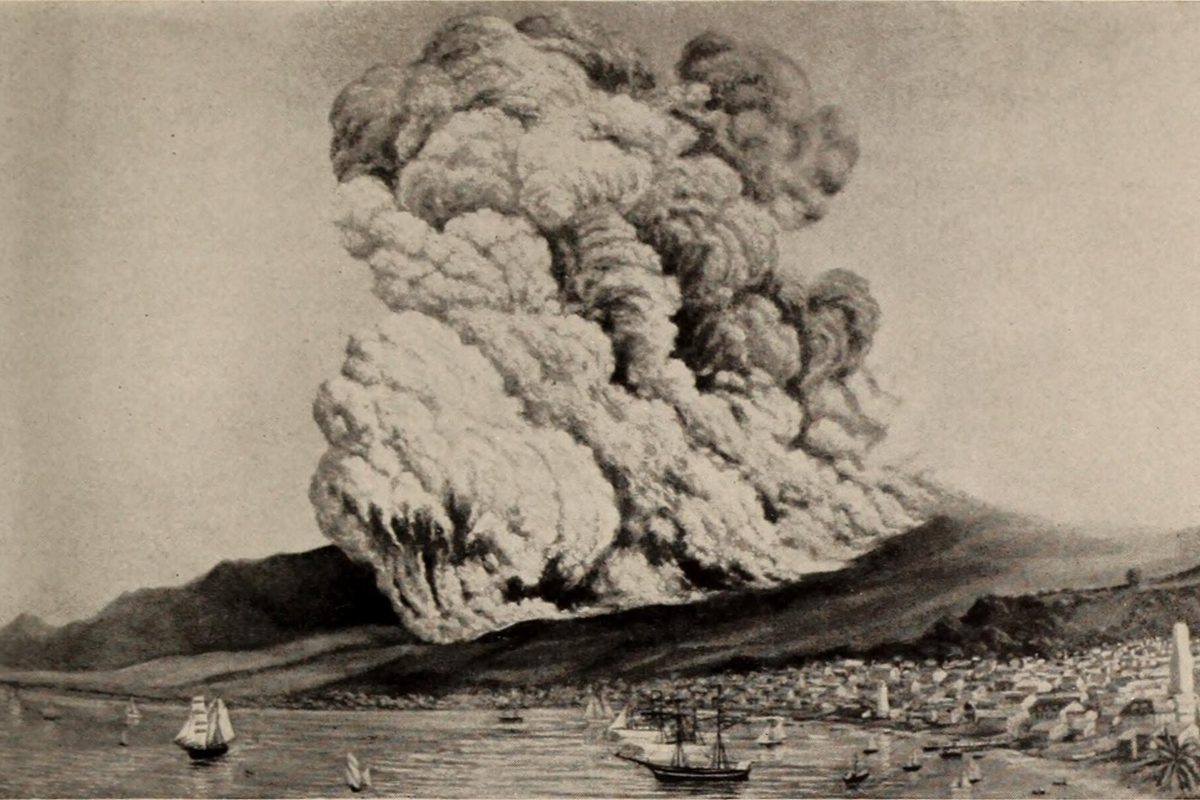
Central America runs one of the densest volcanic chains in the world, and most of its famous peaks can be hiked in a single day. This guide covers eleven volcanoes across Guatemala, Nicaragua, Costa Rica, and El Salvador: which ones are still active, which you can drive to, and how to string several of them into one trip if you have two or three weeks.
Why Central America has so many active volcanoes
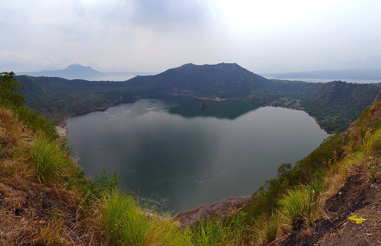
Photo: chensiyuan / CC BY-SA 4.0 / Wikimedia Commons
The whole Pacific coast of the region sits on the Ring of Fire, where the Cocos plate slides under the Caribbean plate and feeds a near-continuous line of volcanoes from Mexico to Panama. That geology is why you can watch an eruption from a neighboring summit in Guatemala, then board down a young ash cone in Nicaragua the following week. For the gear and techniques these peaks demand, see our guide to volcano trekking in Central America.
Guatemala: Fuego, Acatenango, and Pacaya
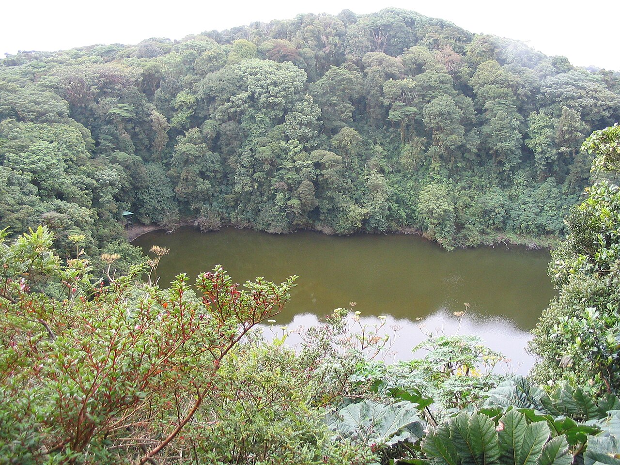
Photo: Fbolanos / Public domain / Wikimedia Commons
Guatemala has the most active peaks in the region and the most demanding hikes. All three volcanoes below are reached from Antigua, which makes the city the best base for a volcano-focused week.
Volcán de Fuego
Fuego is one of the most active volcanoes on Earth, erupting on a scale of hours rather than years, and it is not climbed. What you do instead is watch it from a neighboring summit, ideally overnight, when the glowing eruptions are visible against the dark. Because the volcano is genuinely dangerous, access rules are strict and conditions change fast, so only go with certified local guides and follow their calls on when to move.
Volcán de Acatenango
Acatenango, at 3,976 m, is the summit across the valley from Fuego and the best vantage point in Central America, in my view. The climb is steep and the top is cold enough that most people do it as an overnight trek — you gain roughly 1,700 meters and sleep above the cloud line to catch the sunrise. The payoff is watching Fuego throw incandescent rock a few hundred meters into the air, close enough to hear the rumble arrive seconds after the flash. We cover the full route in the Acatenango sunrise hike guide, the training and preparation it demands, and how it compares with its neighbor in Acatenango vs Fuego.
Volcán de Pacaya
Pacaya is the easy day out: a half-day hike from Antigua over hardened lava fields and steaming vents on an actively erupting slope. The terrain looks like a fresh parking lot made of black slag, still warm in places, and guides will often lead you to a spot hot enough to roast marshmallows over fumarole heat. If you have one spare afternoon in Antigua and want to stand on actual volcanic ground without a two-day commitment, this is the pick.
Nicaragua: Cerro Negro, Masaya, and Momotombo
Nicaragua's volcanoes are wider, younger, and far more accessible than Guatemala's — several you can practically drive to, and the country turned one of them into a sport.
Cerro Negro
Cerro Negro is a young, pitch-black cinder cone — around 728 m — made of loose ash, and it is the birthplace of volcano boarding. You climb the slope in about an hour, take a wooden board and a jumpsuit, and slide down the ash run, which is faster and rougher than it sounds; expect grit in everything for the rest of the day. The volcano itself is barely 170 years old, so the landscape still looks like a fresh quarry rather than a mountain.
Volcán Masaya
Masaya is one of the few places on the planet where you drive to the rim of an active crater and look into a lava lake. Park rangers hold visitors at the viewpoint in short windows so nobody lingers in the sulfur plume, and the gas smell is part of the experience — bring the mask described below if you are sensitive. Go in the late afternoon: the glow builds as the light fades, and by dark the crater reads like an open furnace.
Volcán Momotombo
Momotombo is the classic postcard cone above Lake Managua, the shape people draw when they sketch a volcano. It is a serious climb through forest and volcanic rock rather than a casual viewpoint, and it sees far fewer visitors than the other two, which is exactly its appeal if you have already done the highlights.
Costa Rica: Arenal, Poás, and Irazú
Costa Rica mixes volcanic activity with rainforest, so every peak below comes wrapped in cloud forest, hot springs, or both. The hiking is gentler here; the volcanoes are more scenery than expedition.
Arenal
Arenal is the country's most famous peak — a perfect cone rising over the town of La Fortuna — and it erupted more or less continuously until activity ceased around 2010. The volcano is quiet now, but the heat it leaves behind runs the region's hot springs, and soaking in one while looking up at the cone is the best way to end any Costa Rica route. We compare the options in our volcanic wellness guide.
Poás
Poás holds one of the largest active craters on Earth, with a steaming acidic lake at the bottom that shifts between turquoise and gray-green. The rim is reached by car plus a short walk, but access is often limited or paused when gas emissions spike, so check the park's status the day before rather than trusting a plan.
Irazú
Irazú, at 3,432 m, is the highest volcano in Costa Rica, and on clear mornings you drive almost to the summit and stand above the clouds looking into a pale green crater lake. The road from San José is an easy day trip, which makes this the simplest high-altitude volcano experience in the country.
El Salvador: Santa Ana and Izalco
El Salvador packs a high density of volcanoes into the smallest country on the list, and the two below share a trailhead, which makes it easy to see both in one outing.
Santa Ana
Santa Ana, around 2,381 m, is El Salvador's highest volcano, and the climb ends at a steaming crater holding a bright turquoise lake. The trail is steep in sections and rangers sometimes restrict access when activity rises, so treat the summit as a bonus rather than a guarantee — the walk through the cloud forest is worth the morning either way.
Izalco
Izalco erupted so frequently after it was born in 1770 that sailors used it as a natural lighthouse on the Pacific coast — the "Lighthouse of the Pacific" — and it stayed active for nearly two centuries. It is quiet now, a young black cone rising from the flank of Santa Ana, and it is usually climbed as an extension of the Santa Ana hike.
How to plan the route
If you want the full arc, go Guatemala for the most intense hikes, cross into El Salvador for Santa Ana, continue to Nicaragua for Cerro Negro and Masaya, and finish in Costa Rica with Arenal's hot springs — the intensity taper works in your favor, ending the trip relaxed instead of wrecked. If you only have days, not weeks, pick by appetite: the Acatenango overnight for the best single view, Masaya if you want maximum volcano for minimum effort, or Cerro Negro if you would rather ride down one than climb it.
The one combination I would avoid is stacking Fuego-region hikes back-to-back with nothing between them; the ash, the altitude, and the early starts compound, and the second hike is always worse than the first.
What to pack
Volcano days compress several climates into one hike, and the list is short but specific: boots with grippy soles for loose ash, warm layers for summits that sit well below freezing at dawn, a bandana or proper mask for sulfur fumes, more water than feels reasonable, and a headlamp for the pre-dawn starts that most of these hikes require. Trekking poles earn their weight on the ash descents. For the full checklist, see our nature travel gear guide.
Safety on active volcanoes
Volcanic conditions change on a scale of hours, and every rule below exists because someone ignored it: go with certified local guides where they are required, follow official park warnings even when they cost you a summit, and stay on marked trails — both for your safety and because the crater-edge vegetation and crusts are fragile in ways that are not obvious from above. If a guide says move, move; if the park says closed, it is closed for a reason.
Official sources
Details worth verifying before you go — checked against:
Travel Writer & Editor
Emily Johnson writes and edits Do Travel Blog. Every guide on the site starts the same way: with a question she actually had while planning — when to book, which pass to buy, how to get from A to B without overpaying. Where a number matters, she cites the source: park tickets link to the park's own fee page, visa rules to the official consulate, ferry times to the operator. Prices get re-checked against those pages before each update, and a guide is re-dated when its numbers move. Nothing here is sponsored — she doesn't accept payment for coverage. Spotted something stale or wrong? Email hello@dotravel.blog and she'll fix it.